The future of the Rail to Trail is at stake.
A recent decision to pursue a 'Rail with Trail' model jeopardizes the 50-mile path we envision.
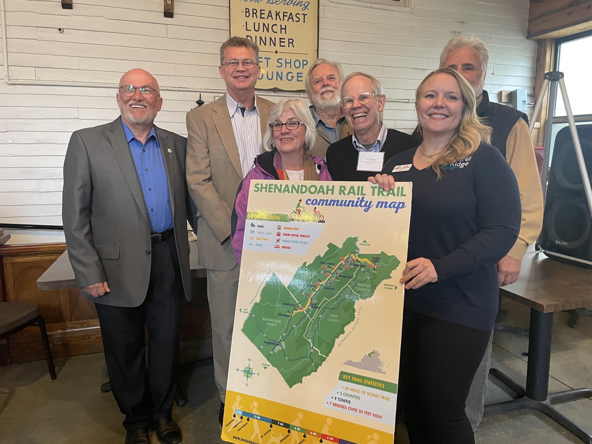


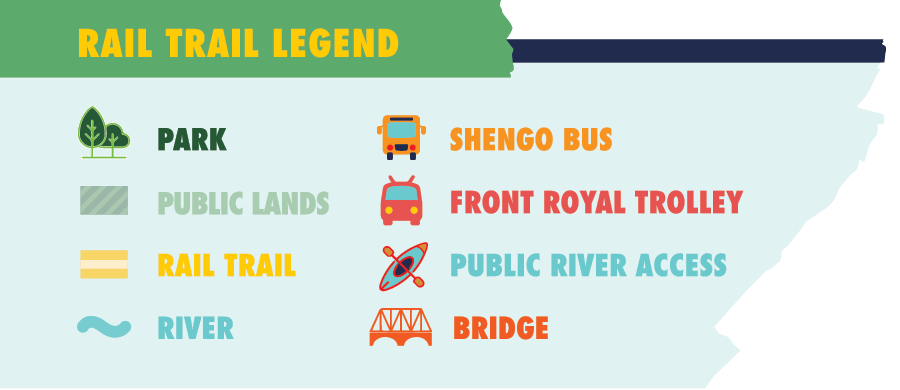
8 Public Parks
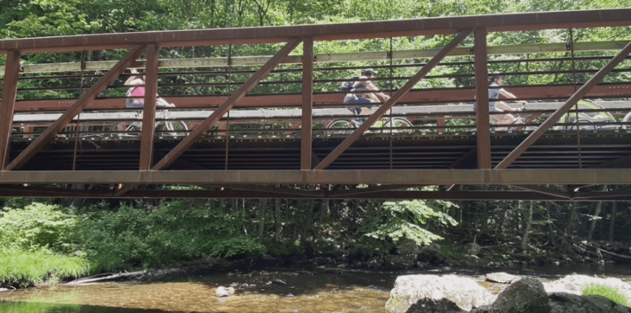
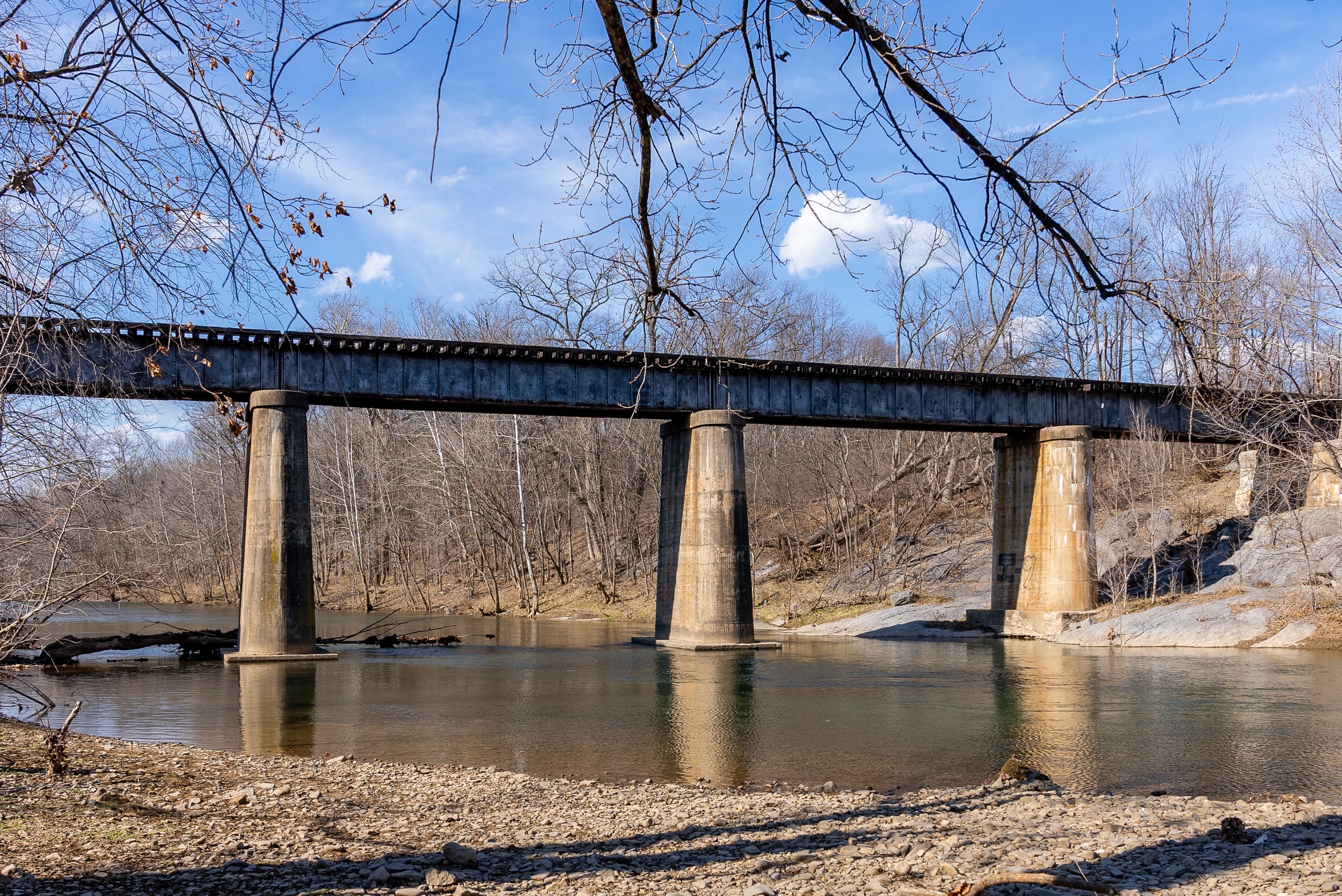
7 Bridges
9 Towns
50 Miles
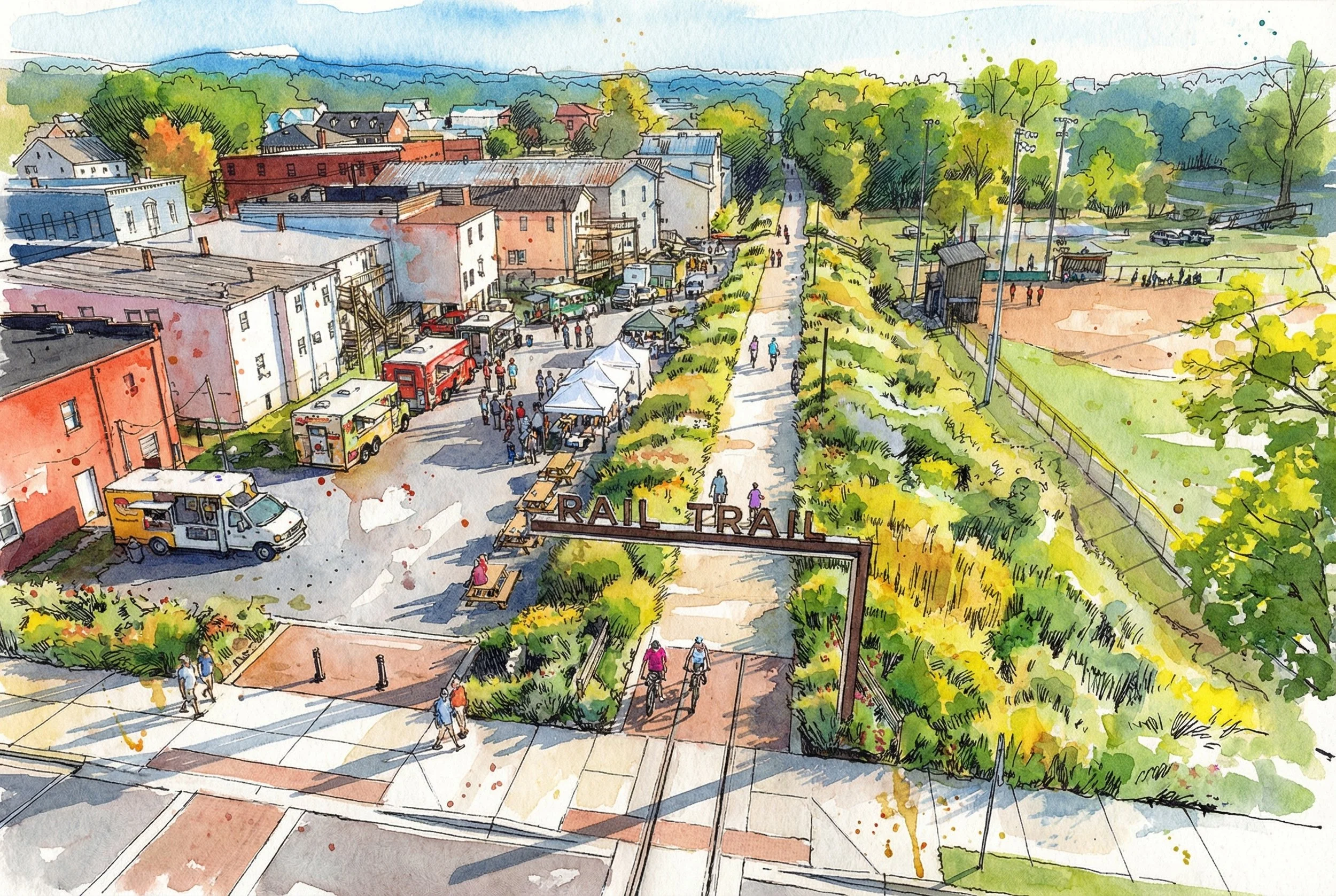
It’s time for a Trail that connects more than towns—It connects people.
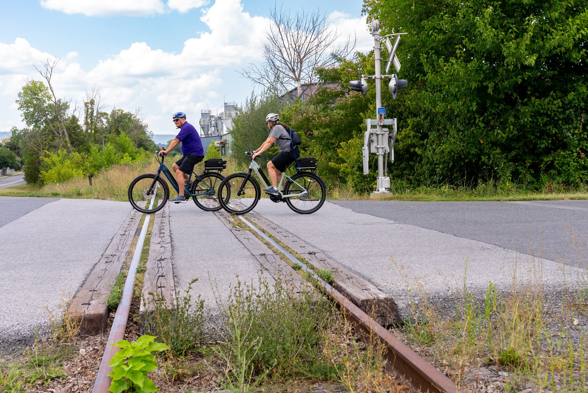
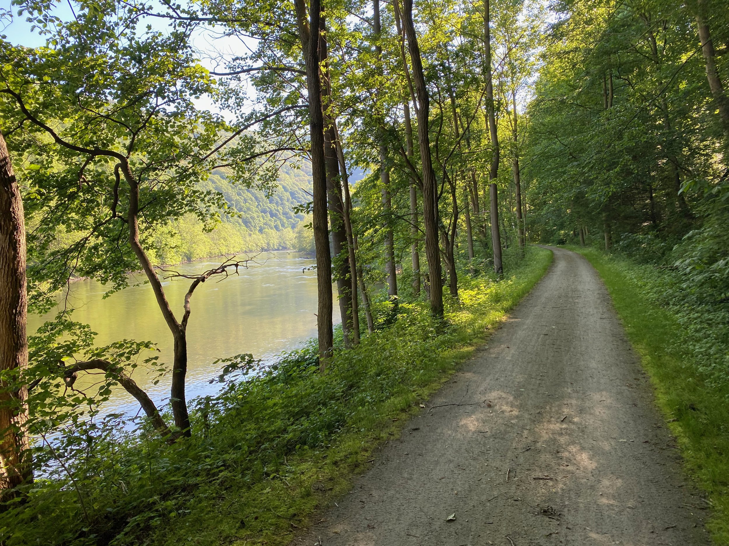
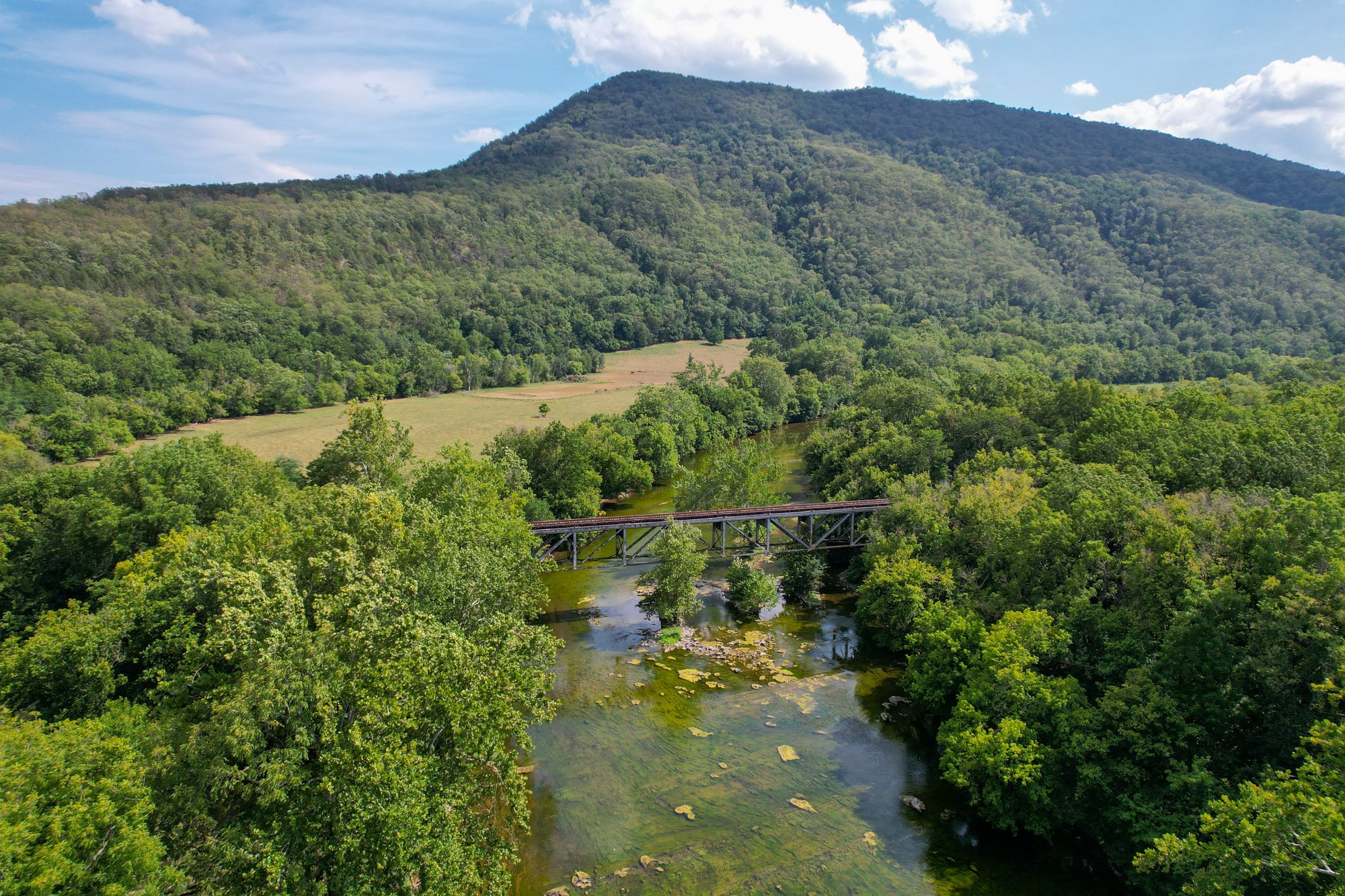
Virginia’s Shenandoah Rail Trail will connect towns from Broadway to Front Royal with almost 50 miles of trail alongside the North Fork of the Shenandoah River and the Massanutten Mountain range.
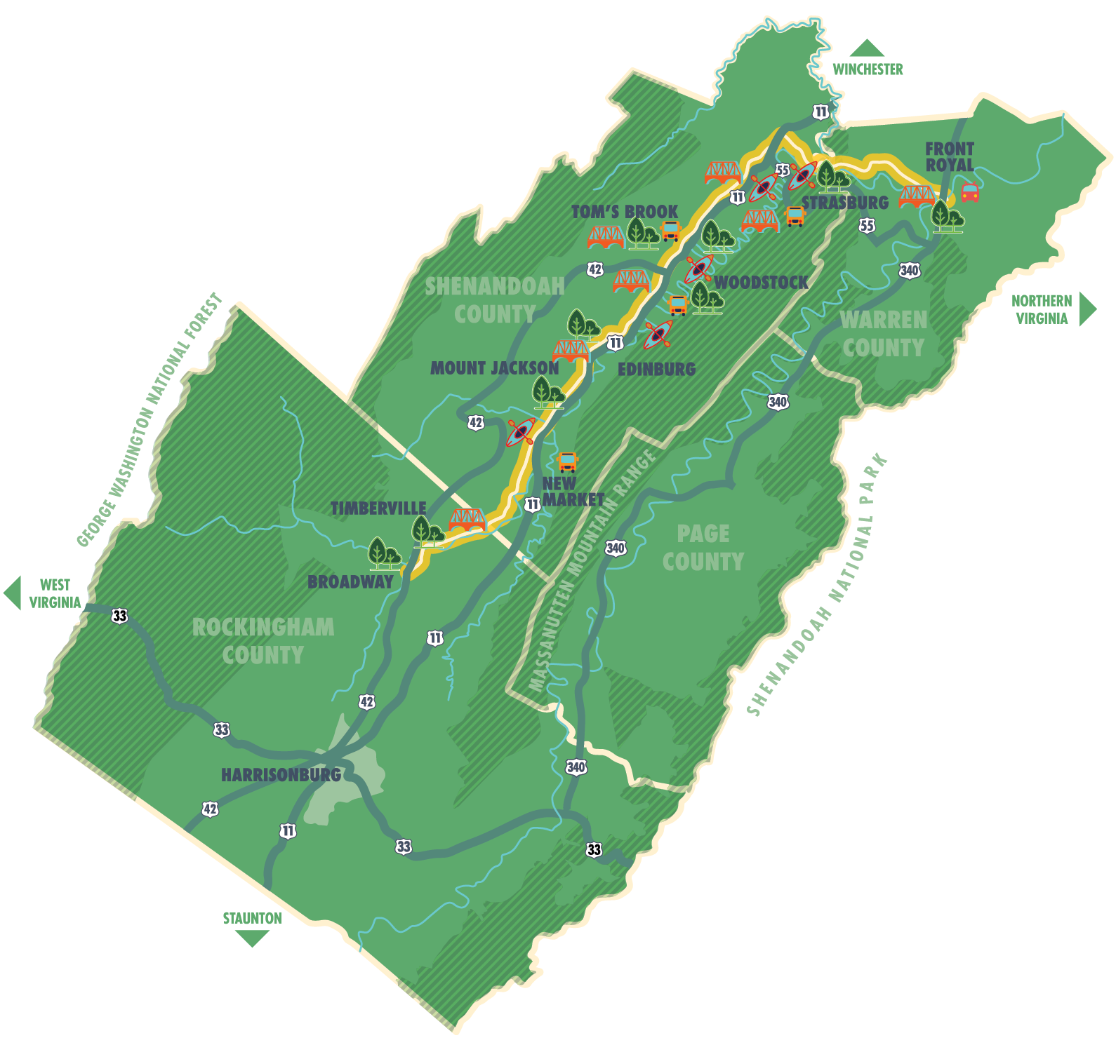
BROADWAY
📍 2mi 📍
TIMBERVILLE
📍 12 mi 📍
MT. JACKSON
📍 7 mi 📍
EDINBURG
📍 6 mi 📍
WOODSTOCK
📍 6 mi 📍
TOMS BROOK
📍 6 mi 📍
STRASBURG
📍 10 mi 📍
FRONT ROYAL
🏁
BROADWAY 📍 2mi 📍 TIMBERVILLE 📍 12 mi 📍 MT. JACKSON 📍 7 mi 📍 EDINBURG 📍 6 mi 📍 WOODSTOCK 📍 6 mi 📍 TOMS BROOK 📍 6 mi 📍 STRASBURG 📍 10 mi 📍 FRONT ROYAL 🏁


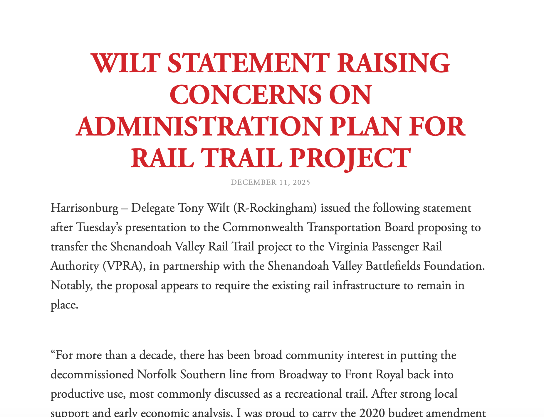
What’s the status of the Shenandoah Rail Trail?
VDOT launched a Rail-with-Trail Assessment in March 2024, with final findings expected in late fall of 2025. Three key reports are now out. Together, they highlight the steep costs and challenges of pursuing a rail-with-trail option.
That’s why we believe more than ever that a dedicated trail along the entire corridor is the best use of this once-in-a-generation opportunity. The data confirms what our communities have long understood: a trail will deliver the greatest benefit, connecting towns, boosting local economies, and creating a safe, accessible spaces for all.
Phase 1
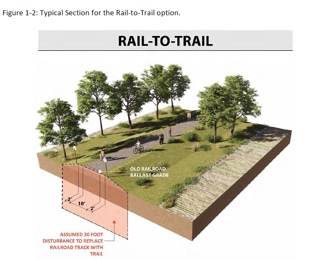
Phase 1 report was released on March 18, 2025, documenting technical constraints, public feedback, and proposed typical cross-sections for a rail-with-trail option.
Phase 2
Phase 2 report was published in September 2025. That report delves more deeply into engineering challenges and begins outlining strategies for implementation.
Phase 3
Phase 3 report was published in December 2025. That report provides cost estimates that indicate including rail restoration into the existing trail proposal would cost $687 million, four times more than a trail-only project.
See the history that inspires the trail.

Join the crew bringing the Rail Trail to life.
The Shenandoah Rail Trail needs your help! Fill out our volunteer survey below, let us know about your unique skill set, and we’ll be in touch with ways for you to help us take this crucial project to the finish line.

Small sticker, big statement.
Grab a sticker at one of these community locations and proudly display your enthusiasm for this transformational project.