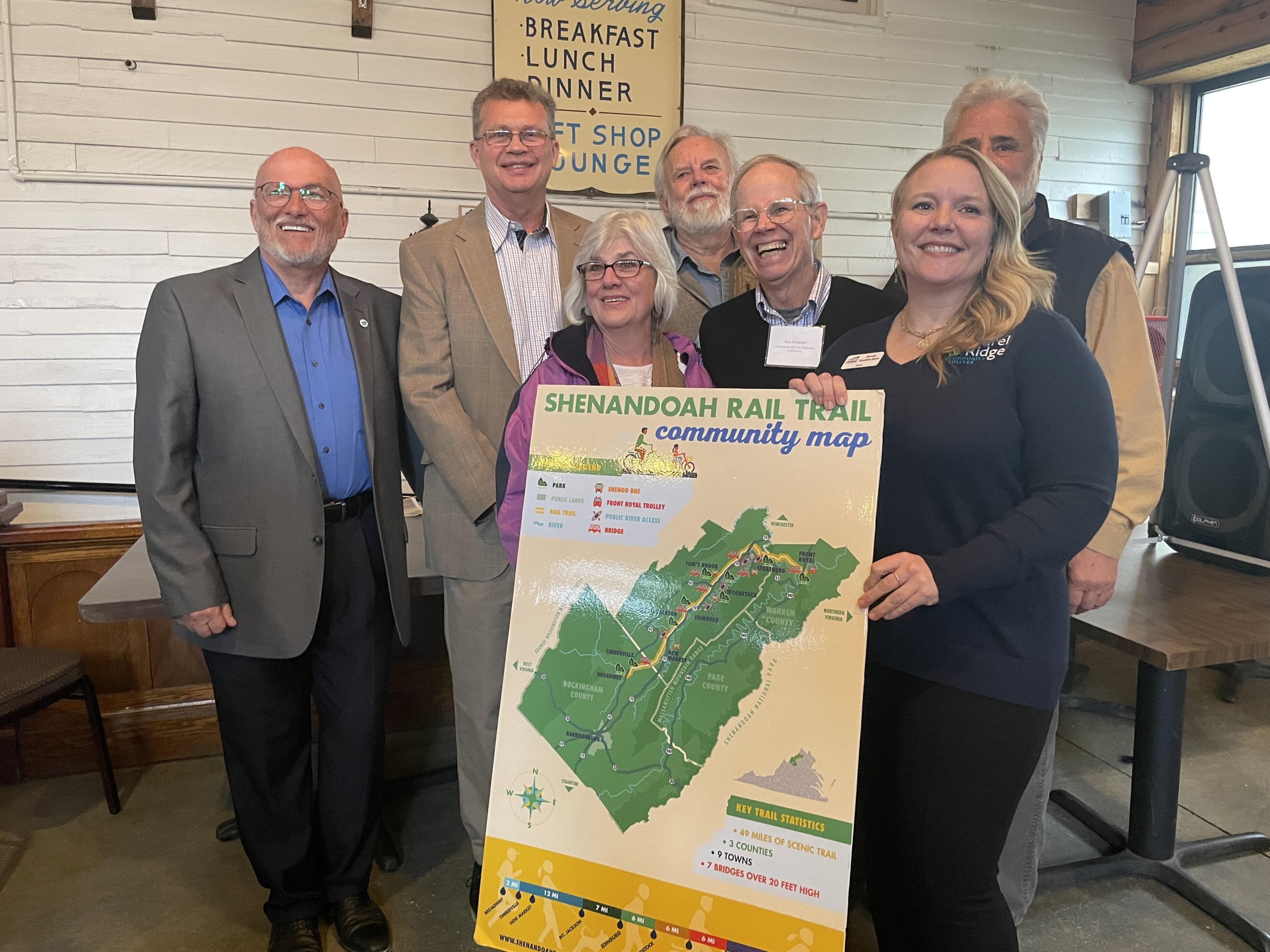
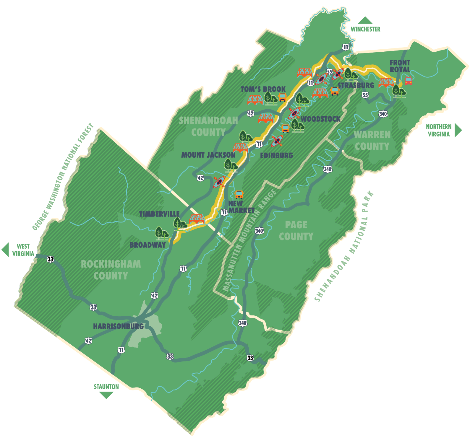
Why a Rail Trail?
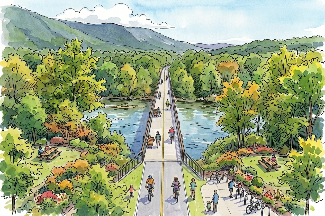
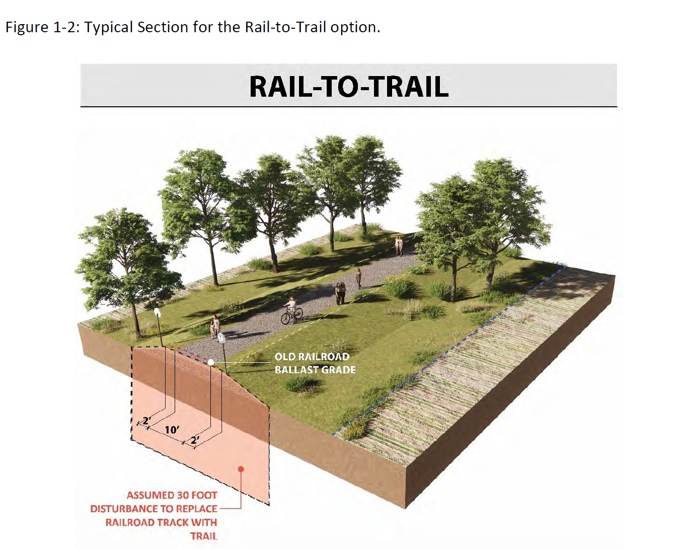
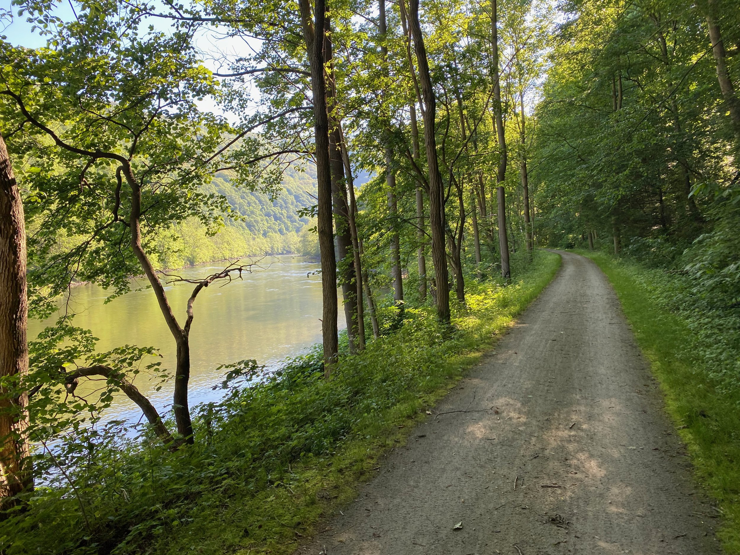
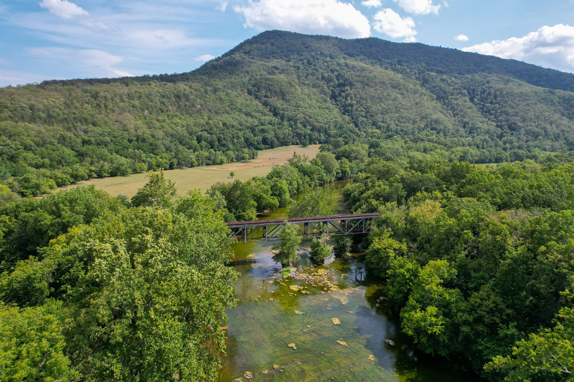
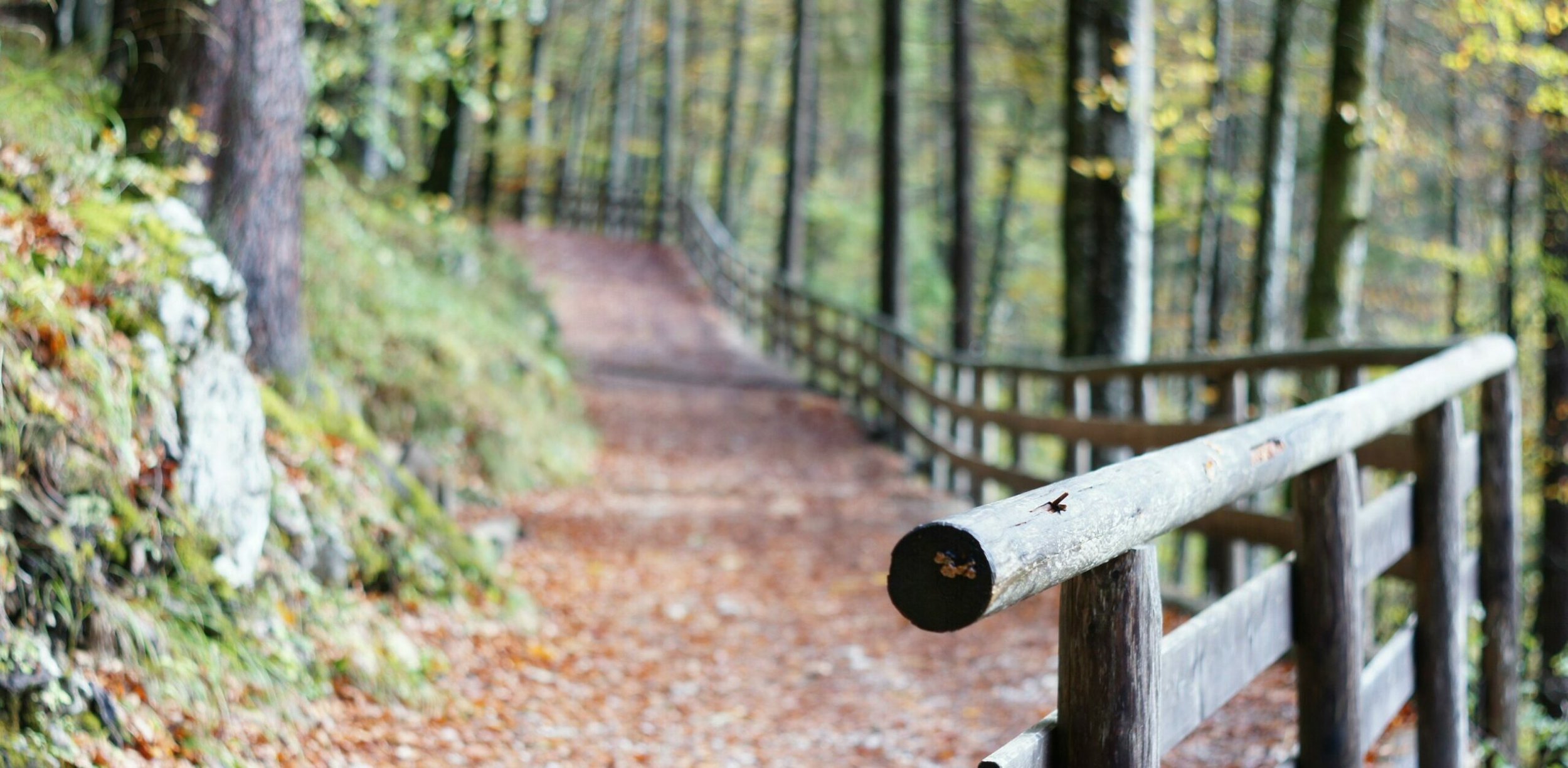
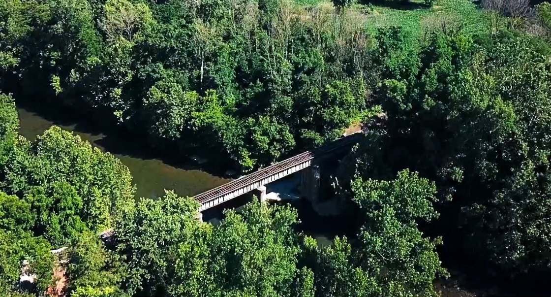
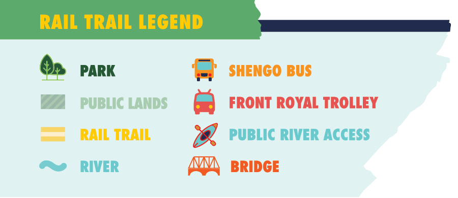
A rail trail is a way of preserving and reimagining an unused rail corridor into a wide, flat trail for people to walk, jog, ride bikes, push strollers or wheelchairs and more. The vision for a Shenandoah Rail Trail connects towns from Broadway to Front Royal with almost 50 miles of trail paralleling the North Fork of the Shenandoah River and the Massanutten Mountain range. Folks enjoying the trail will have the opportunity to take in iconic Valley views as well as stop in historic towns for food, shopping, lodging and entertainment.
BROADWAY
📍 2mi 📍
TIMBERBILLE
📍 12 mi 📍
MT. JACKSON
📍 7 mi 📍
EDINBURG
📍 6 mi 📍
WOODSTOCK
📍 6 mi 📍
TOMS BROOK
📍 6 mi 📍
STRASBURG
📍 10 mi 📍
FRONT ROYAL
🏁
BROADWAY 📍 2mi 📍 TIMBERBILLE 📍 12 mi 📍 MT. JACKSON 📍 7 mi 📍 EDINBURG 📍 6 mi 📍 WOODSTOCK 📍 6 mi 📍 TOMS BROOK 📍 6 mi 📍 STRASBURG 📍 10 mi 📍 FRONT ROYAL 🏁


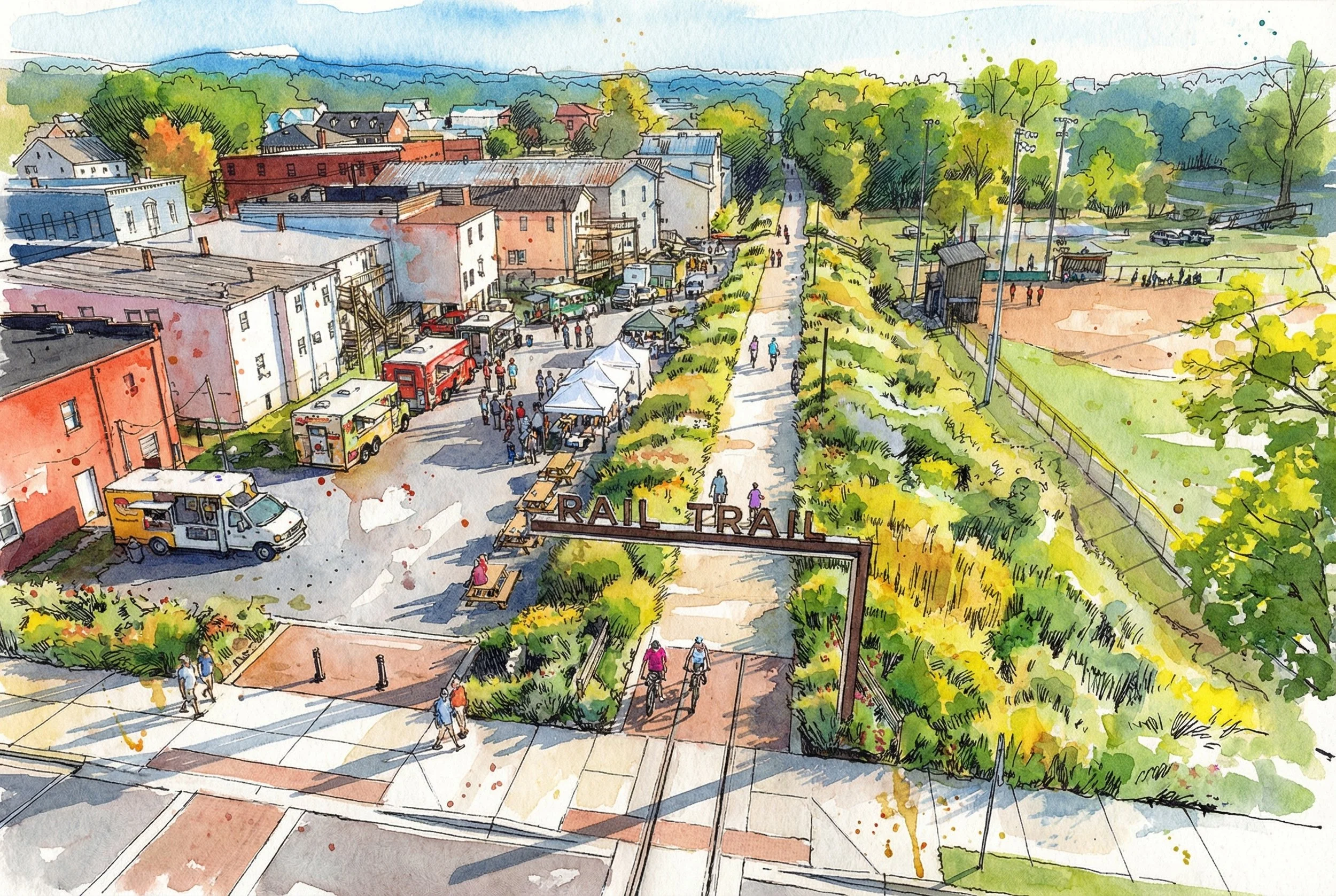
This trail would not just create more active communities — it would bring the people in the Valley together.
Up and down the route, the trail connects students to school, employees to work, customers to shops, diners to restaurants, and community members to parks, rivers and historic sites.
It turns access into opportunity, making the outdoors part of everyday life for everyone.
In the Valley, we are surrounded by opportunities to enjoy the outdoors, but many of the trails and paths are remote, and, by the nature of the terrain, suited for advanced trail users. Our rail trail is flat, primarily rural and scenic, and easily accessed from many towns and neighborhoods. It will be a safe and easy way to get outside and walk, run or roll with family members of all ages and abilities.
What begins as a trail becomes a driver of transformation across the Valley.
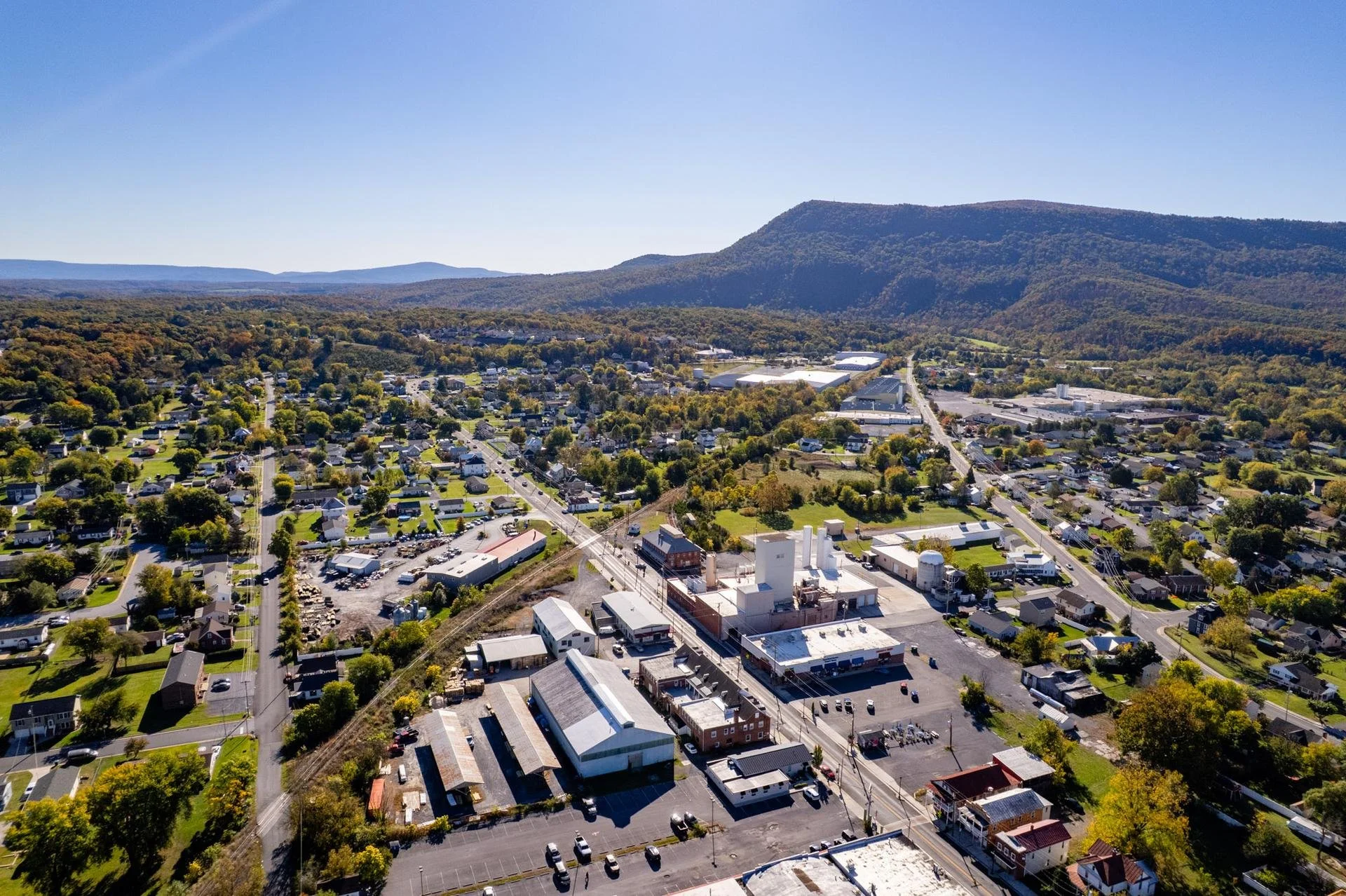
The addition of a rail trail to our first-rate local amenities will attract companies that seek to locate in a place that offers a high quality of life to the folks they employ. This means the potential for new job opportunities across many sectors. And, visitors to the trail will provide economic opportunities for entrepreneurship and for communities to enjoy thriving local business in the town.